Détection de zones brûlées (SAR) Burnt area detection (SAR)
Stage (6 mois) En cours... Internship (6 months) Ongoing...ICube-SERTIT • Mars-Août 2026 ICube-SERTIT • March-August 2026
Le défi :
The challenge:
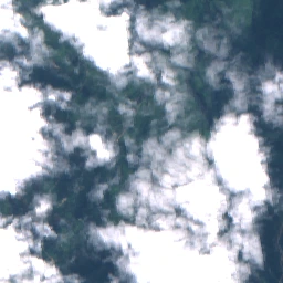
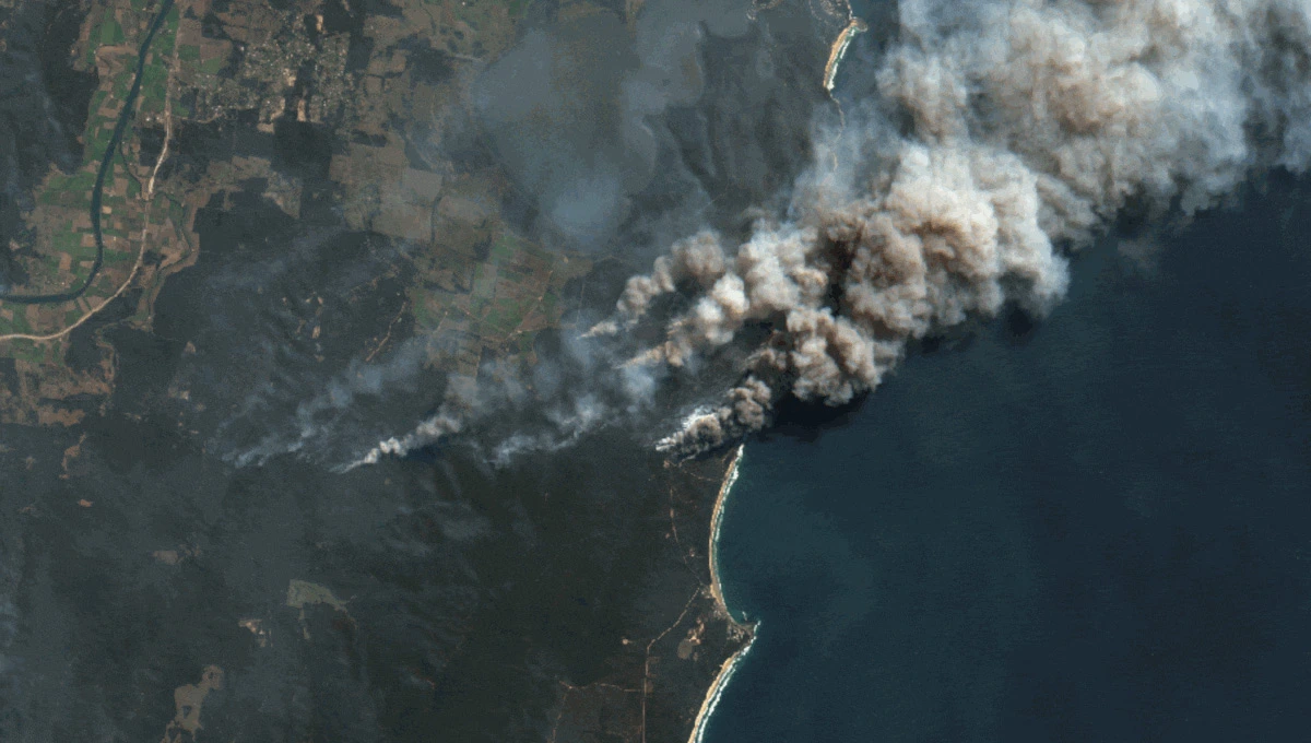
L'extraction des zones incendiées repose traditionnellement sur
l'imagerie optique, rendue souvent inutilisable par la couverture nuageuse lors des
crises. L'enjeu est de développer une méthode robuste basée sur le radar (Sentinel-1)
pour garantir une cartographie rapide 24h/24, indispensable au service
Copernicus
EMS.
Burnt area extraction traditionally relies on optical imagery, which
is frequently obstructed by cloud cover during active wildfire crises. The objective is
to develop a robust radar-based method (Sentinel-1) to ensure 24/7 rapid mapping
capabilities, a critical requirement for the Copernicus EMS
service.
Innovation :
Innovation:
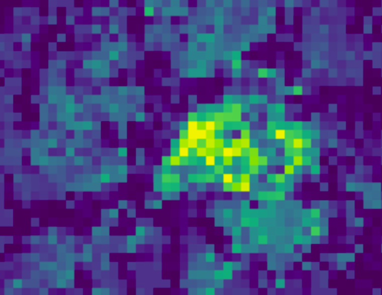
Utilisation du Machine Learning pour passer d'une
analyse statistique du
signal à une segmentation sémantique automatisée. L'approche exploite la
cohérence
temporelle et les changements d'intensité polarimétrique du signal SAR pour
isoler les
signatures de combustion avec une précision compatible avec les exigences
opérationnelles.
Transitioning from classical statistical signal analysis to automated
semantic segmentation using Machine Learning. This approach leverages
temporal coherence
and polarimetric intensity changes in the SAR signal to isolate burn signatures with a
level of precision that meets operational emergency requirements.